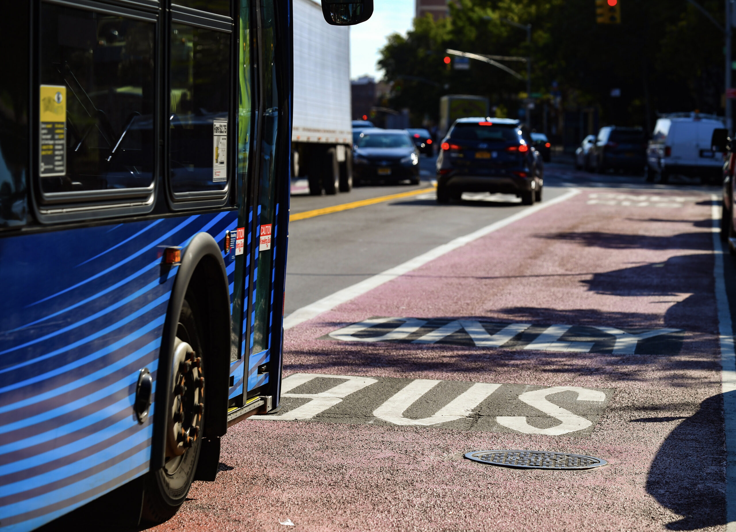
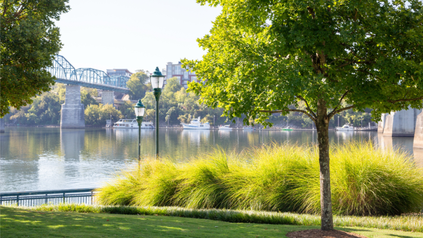
The City of Chattanooga, Tennessee, is exploring the use of air quality sensors mounted on public buses to collect neighbourhood-level pollution data. This project would link public transport assets with environmental planning and infrastructure investment.
The proposal would see sensors installed on buses operating across the city, allowing continuous measurement of air pollution as vehicles move through different districts. The data would be combined with existing maps of tree canopy coverage to identify areas where poor air circulation and limited vegetation contribute to higher heat and pollution levels.
This approach could provide a cost-effective alternative to fixed monitoring stations, which offer limited spatial coverage. Buses already operate on regular routes through residential, commercial and industrial areas, making them a practical platform for mobile data collection.
The air quality data would feed into the city’s GIS dashboards, which are used to guide decisions on urban tree planting. Areas showing both low tree canopy and persistently stagnant air could be prioritised for future planting under federally funded forestry programmes.
Charlie Mix, director of the Center for Applied Geospatial Data Science at the University of Tennessee at Chattanooga said:Chattanooga sits in the big bowl of the Tennessee River Valley—heat and moisture come up from the Gulf and get trapped here. It gets even hotter downtown where there’s a lack of tree canopy. If you have a neighbourhood with shade, your cooling costs are going to be cheaper. There’s a real economic benefit, not just an ecological one.
Chattanooga is already using artificial intelligence and geospatial mapping to guide public investment in urban tree planting, linking climate adaptation with infrastructure planning and long-term economic outcomes.
In partnership with the University of Tennessee at Chattanooga (UTC), the city has mapped approximately 5.3 million trees using AI models trained on aerial imagery from the US Department of Agriculture. The analysis identifies where tree canopy has declined and where high surface temperatures overlap with vulnerable populations, allowing officials to prioritise spending.
Using these results, the city is investing 6 million USD in urban tree planting. By integrating bus-based sensor data, the city could further improve the precision of this investment.