Customize Consent Preferences

We use cookies to help you navigate efficiently and perform certain functions. You will find detailed information about all cookies under each consent category below.

The cookies that are categorised as "Necessary" are stored on your browser as they are essential for enabling the basic functionalities of the site.... 

Always Active

Necessary cookies are required to enable the basic features of this site, such as providing secure log-in or adjusting your consent preferences. These cookies do not store any personally identifiable data.

No cookies to display.

Functional cookies help perform certain functionalities like sharing the content of the website on social media platforms, collecting feedback, and other third-party features.

No cookies to display.

Analytical cookies are used to understand how visitors interact with the website. These cookies help provide information on metrics such as the number of visitors, bounce rate, traffic source, etc.

No cookies to display.

Performance cookies are used to understand and analyze the key performance indexes of the website which helps in delivering a better user experience for the visitors.

No cookies to display.

Advertisement cookies are used to provide visitors with customized advertisements based on the pages you visited previously and to analyze the effectiveness of the ad campaigns.

No cookies to display.

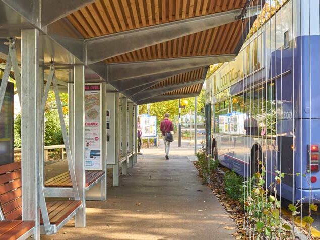
A new report published by travel booking company GetByBus has named Eden as England’s number one ‘Public Transport Desert’, following an investigation into government data on 276 local authorities across the country.

The report, which analysed the total number of bus and rail stops per square mile, ranks each local authority based on its public transport links, with London boroughs aggregated in order to create an accurate figure for the city.

The report utilises data found in government reports into public transport availability across 276 local authorities

Topping the list with 0.69 bus & rail stops per square mile is Eden, a district in Cumbria, with locals having access to a total of 549 and 23 bus and rail stops respectively.

Coming in at a close second is Richmondshire, which stands with zero rail stops, sporting a combined bus & rail stop average of 0.80, or 405 bus stops overall.

Rounding out the top three is Ryedale, a district in North Yorkshire, averaging a combined number of 0.89 bus & rail stops per square mile, or 516 bus stops and two rail stops, despite an average of 0.00 per square mile of rail stops overall.

Ante Dagelić, CEO of GetByBus, commented on the study:

With workers, students, and others relying on public transport daily, it is vital for links across Great Britain to be strong and reliable.

While bus journeys in Great Britain have fallen from just over 5 billion in 2013 to a little over 3.7 billion in 2023, some areas are still reliant on these services, with one in seven employees taking the bus to work in cities like Nottingham.

Other authorities amongst the top twenty include Hambleton, Torridge, Breckland, Allerdale and Melton.

Of all 276 authorities analysed, the most accessible location is Nottingham, which boasts a combined bus & rail stop average of 60.33 per square mile overall.

The full study list of averages can be found in GetByBus’ data compilation here.

Tags

More News

Get in touch

Please fill in the contact form opposite. A member of the team will be in touch shortly.


    Advertise with UsGeneral EnquirySubscribeEditorial Request

    We'd love to send you the latest news and information from the world of Bus-News. Please tick the box if you agree to receive them.

    For your peace of mind here is a link to our Privacy Policy.

    By submitting this form, you consent to allow Bus-News to store and process this information.