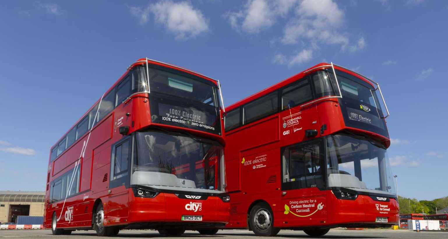
As part of its new national transport strategy, the UK government has announced that passengers in England can now benefit from real-time bus tracking through Google Maps.
The agreement between Google and the Department for Transport (DfT) will integrate live bus data into Google Maps, allowing users to check when their service will arrive.
The move is expected to significantly improve journey planning, particularly in rural areas where services are less frequent and reliability can vary.
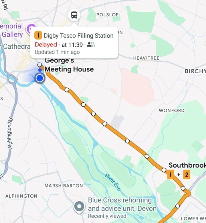
The feature will provide passengers with up-to-date arrival times directly within the app, reducing uncertainty and making public transport a more dependable option.
Sarah-Jayne Williams, Director of Geo Partnerships at Google Maps, said:We are committed to using data and technology to help people make more sustainable and informed travel choices every day. By integrating real-time bus information across England into Google Maps, we are giving millions of passengers the confidence to plan their journeys accurately. This partnership with the Department for Transport ensures that whether you are heading to work or visiting friends, you have accurate, live arrival times right at your fingertips. Making public transport easier to navigate is key to creating a more connected and sustainable future for everyone.
The initiative forms part of the wider Better Connected strategy, which aims to modernise transport networks and improve accessibility across England through digital tools and better integration.